

Transportation Planning
Envisioning the future of transportation in Virginia Beach.
Envisioning the future of transportation in Virginia Beach.
The Master Transportation Plan (MTP) envisions a future featuring a multimodal local and regional transportation network in Virginia Beach.
The MTP is created in accordance with the Code of Virginia §15.2-2223. This comprehensive planning assessment evaluates existing conditions around the city and considers future transportation trends and needs.
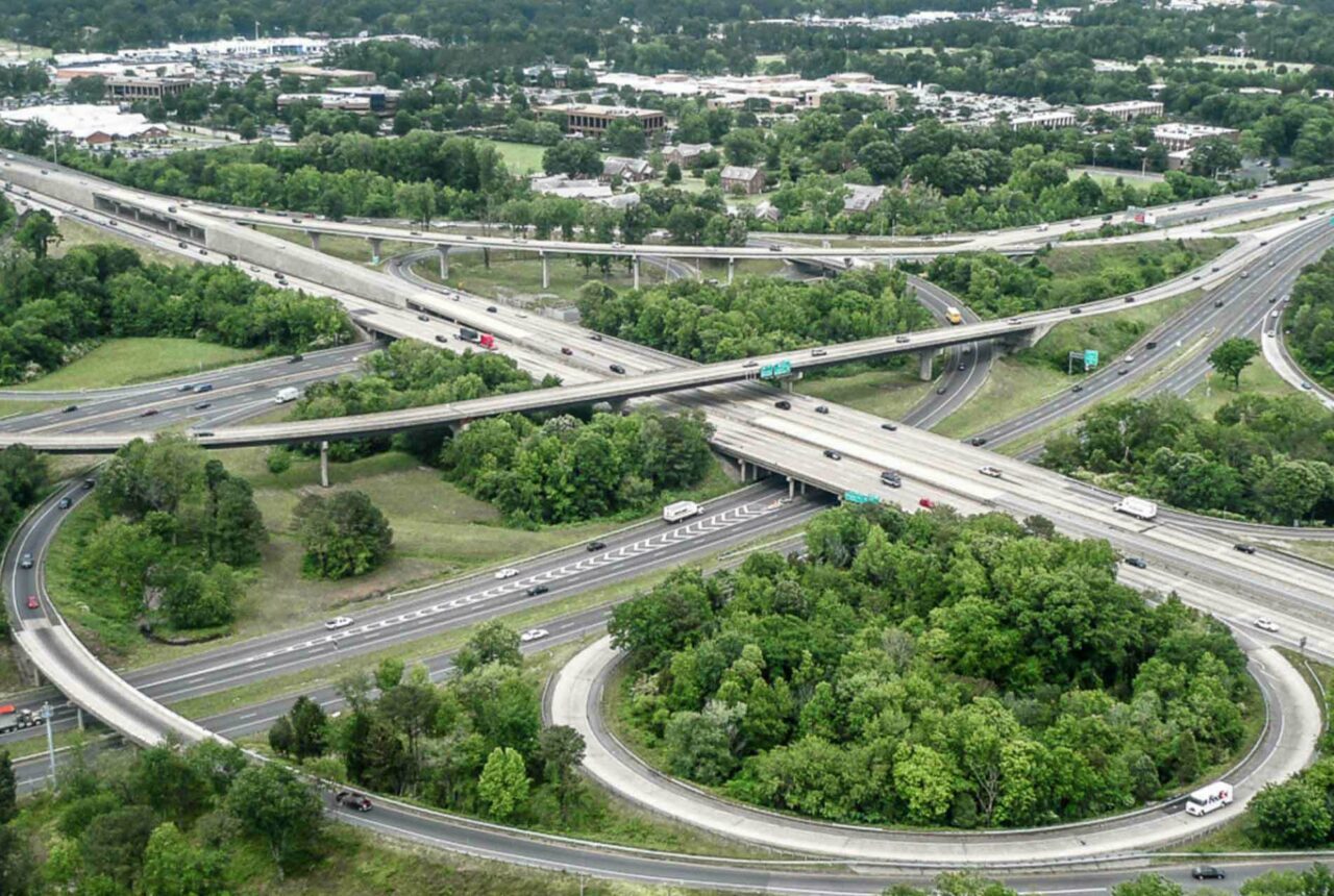
To support continued growth and regional connectivity, the City of Virginia Beach’s 2040 Master Transportation Plan provides a long-range framework to improve mobility, enhance safety, and promote a balanced, multimodal transportation network that serves residents, visitors, and the broader Hampton Roads region.
Follow a complete streets philosophy of designing roadways that consider the needs for all users and modes of transportation in an attractive and environmentally sustainable manner.
Promote walkable, transit supportive, mixed-use neighborhoods in the Strategic Growth Areas (SGAs).
Preserve and meet the transportation needs of the city’s suburban and rural areas south of the Green Line by concentrating most future development in the SGAs.
Prioritize transportation improvements to achieve the greatest benefits throughout the city.
The primary roadway network plan map is a key planning tool for the development of the city’s street network. The map was developed in conjunction with the Public Works Department's standards and specifications, and identifies the general road corridor locations, classification, and the ultimate proposed motor vehicular lane number and general configuration.
Hampton Roads Transit (HRT) is the public transit provider for the City of Virginia Beach. Regional bus routes run throughout the city connecting riders to popular spots, such as Town Center, the Virginia Beach Oceanfront and the Municipal Center. The city is served by three major route types: fixed regular routes, MAX Express routes and seasonal bus routes. Paratransit demand-response service is also provided along its fixed-route services.
The Public Transportation StoryMap provides a guide to the city's HRT bus route network, bus stops and paratransit service. The StoryMap also explores the City's Bus Shelter Improvement Program and Transit Dependent Populations.
In 2016, only 5% of the 500+ bus stops in Virginia Beach have shelters. However, in 2016-2017, City Council approved $668,000 to build 24 new bus shelters, doubling the number of shelters throughout the city. Regional funding in 2021 is also scheduled to add another nearly $400,000 toward bus stop improvements such as service amenities, including more new shelters. Explore the Public Transportation StoryMap to see which bus stops are currently planned for improvements.
Driving, walking, bicycling, and taking the bus are the main modes of transportation in Virginia Beach. Every year the City is making that network better - widening roads, making transit improvements, and building new biking and walking trails.
Streets that are designed and operated to enable safe access for all users, including pedestrians, bicyclists, motorists, and transit riders of all ages and abilities.
Hampton Roads Transit is the public transportation provider for the region offering a variety of transport services throughout Virginia Beach.
Active transportation refers to any form of travel that involves physical activity rather than motorized vehicles. Parks & Recreation has adopted the term since it expresses the key connection between healthy, active living and transportation choices.
The City of Virginia Beach offers a variety of programs to provide convenient parking.