imagineVB 2040 Comprehensive Plan
The city’s Comprehensive Plan drives decision-making about growth, development, infrastructure, and environmental protection.
The city’s Comprehensive Plan drives decision-making about growth, development, infrastructure, and environmental protection.
ImagineVB is the City’s Comprehensive Plan.
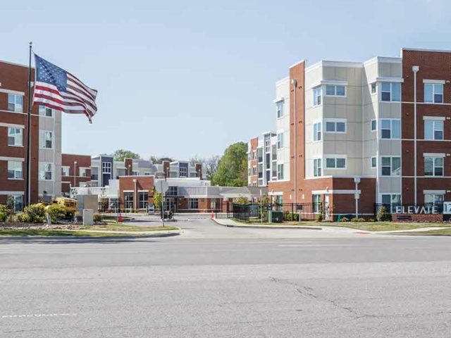
Being strategic about growth protects natural resources, existing and future flood-prone areas, and rural land while creating places that attract and retain people and businesses, including younger residents, military families, innovative companies, and long-term employers.
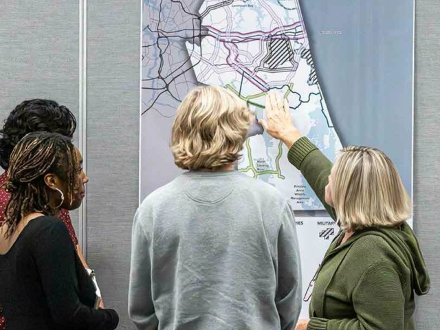
In April 2026, City Council officially adopted the imagineVB 2040 Comprehensive Plan, establishing a framework to guide future growth and development. See the City's roadmap for its long-term vision and growth.
Browse definitions of key terms and acronyms used throughout the plan to better understand goals, strategies and implementation details.
This section lists external plans and documents adopted by reference, which are integral to the framework, policies, and implementation guidance of the imagineVB Comprehensive Plan.
Place types convey the character, function, and development patterns for different settings within each Context Area.
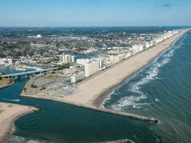
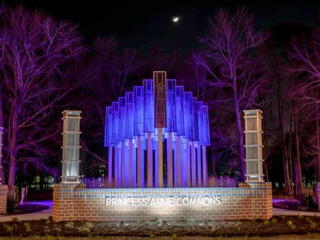
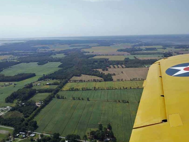
Context areas capture the four major landscapes across Virginia Beach and tell their stories.
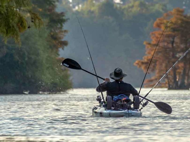
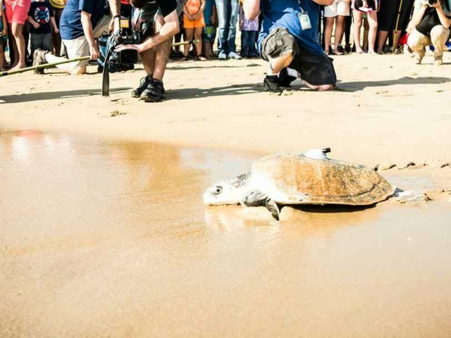
Establish an environmental and open space framework that improves flood and sea-level rise resiliency, wildlife migration, ecological diversity, and public enjoyment of nature.
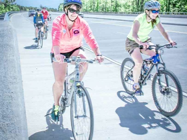
Create a Linear Park/Active Transportation System with pathways for biking, rolling, and walking between new and existing open spaces, parks, and recreational areas.
Continue the Green Line and Blue Line, and plan based on the unique contexts created by those lines.
Designate centers and multimodal corridors north of the Green Line by redeveloping commercial areas into higher-density, walkable urban centers and invest in walking, rolling, biking, and transit networks to provide travel options for residents and workers.
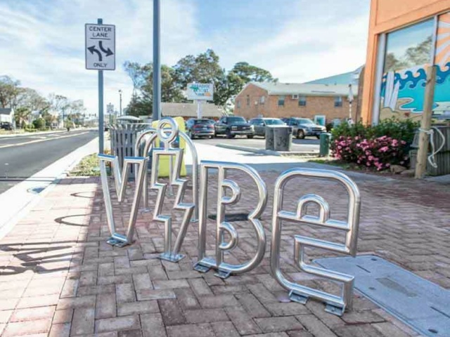
Create unique community identities and connections, using place-making strategies to uplift community aesthetics and pride with art, history, and centering local stories.
Monitor and ensure neighborhood well-being by identifying ways to improve health outcomes, attainable housing, multimodal access, and safety.